This year we completed working with Martinus to deliver the port-side civil works. Around 86 kilometres of the earthworks formation with 10 multi-span superstructures, 87 culvert structures and three-million cubic […]
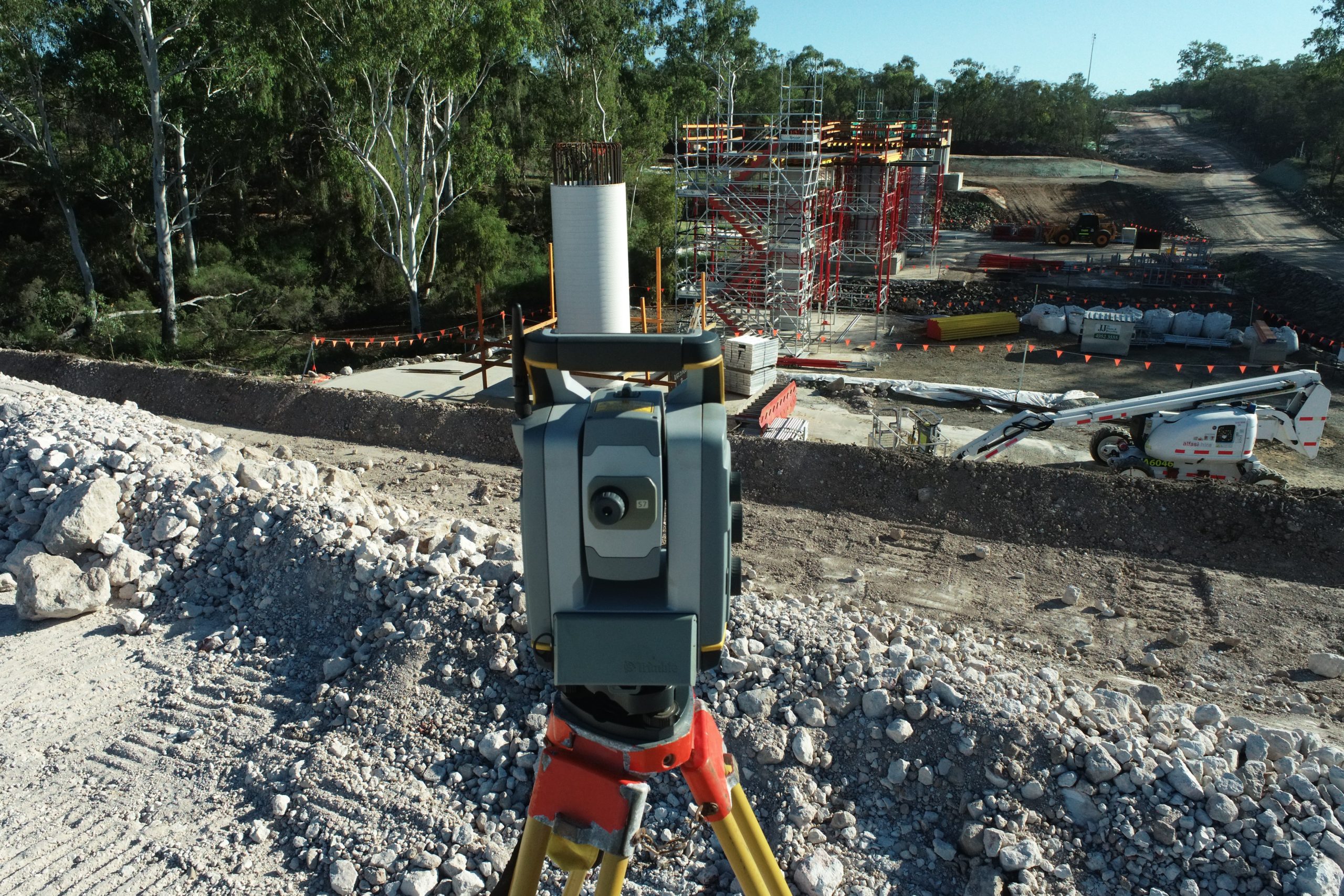
This year we completed working with Martinus to deliver the port-side civil works. Around 86 kilometres of the earthworks formation with 10 multi-span superstructures, 87 culvert structures and three-million cubic […]
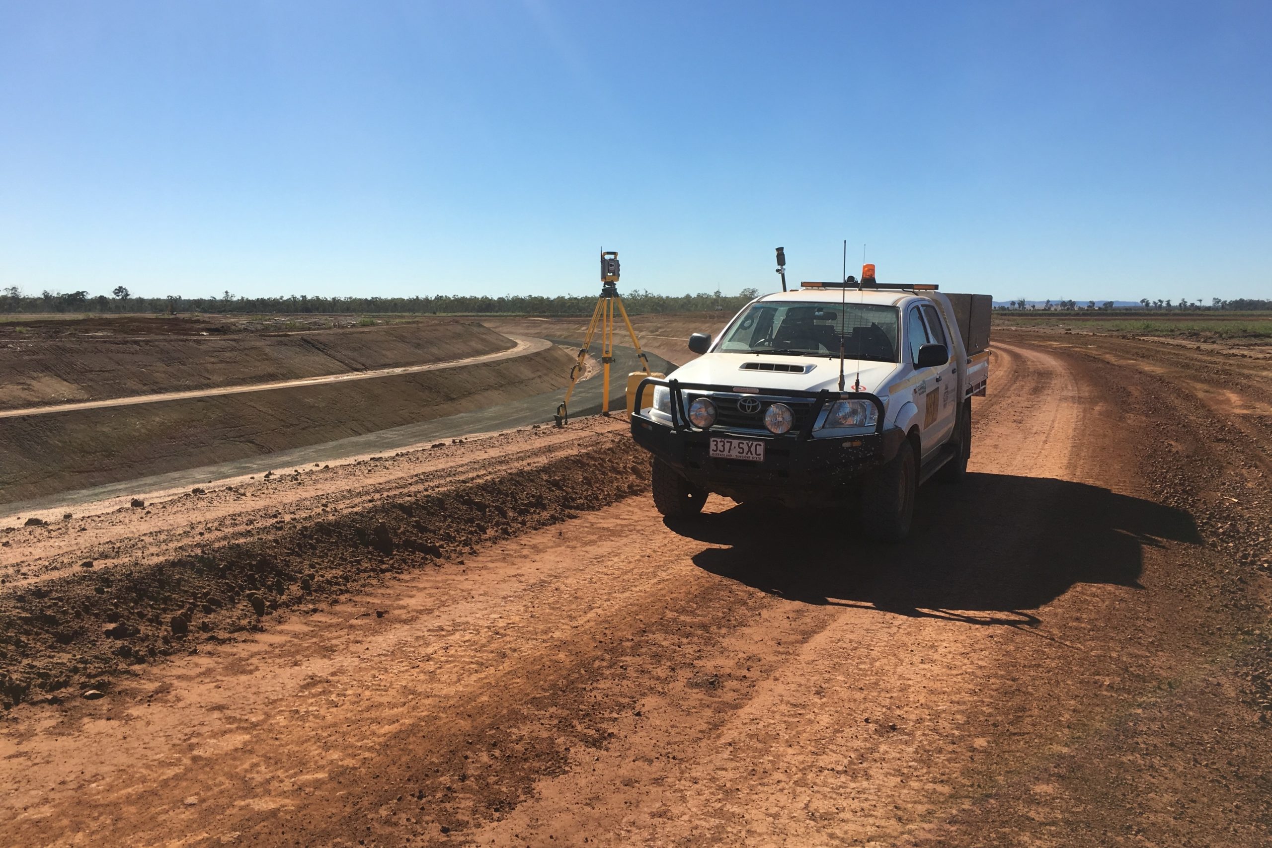
The AGP construction Project had a construction duration of 5 months (December 2018 to April 2019), with commissioning successfully completed shortly after. Survey requirements included pipeline centreline, limits of the […]
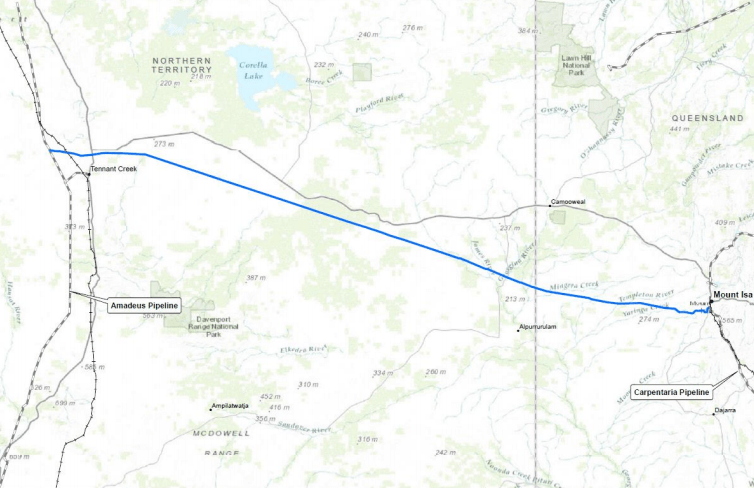
The Northern Gas Pipeline spans 622km, between Tennant Creek in the Northern Territory and Mount Isa in Queensland. Phillip Creek Compressor Station 2 Taurus 60 Compressor Station Site with inlet […]
As part of the QCoal Group’s $1.7 billion Byerwen coal project, CGS worked with MPC in the completion of the first new Railway loop for the project. As well as […]
MCJV, a joint venture between McConnell Dowell Constructors (Aust) Pty Ltd and Consolidated Contracting Company Australia Pty Ltd. The delivery of the 36” and 42” diameter gas pipeline and associated […]
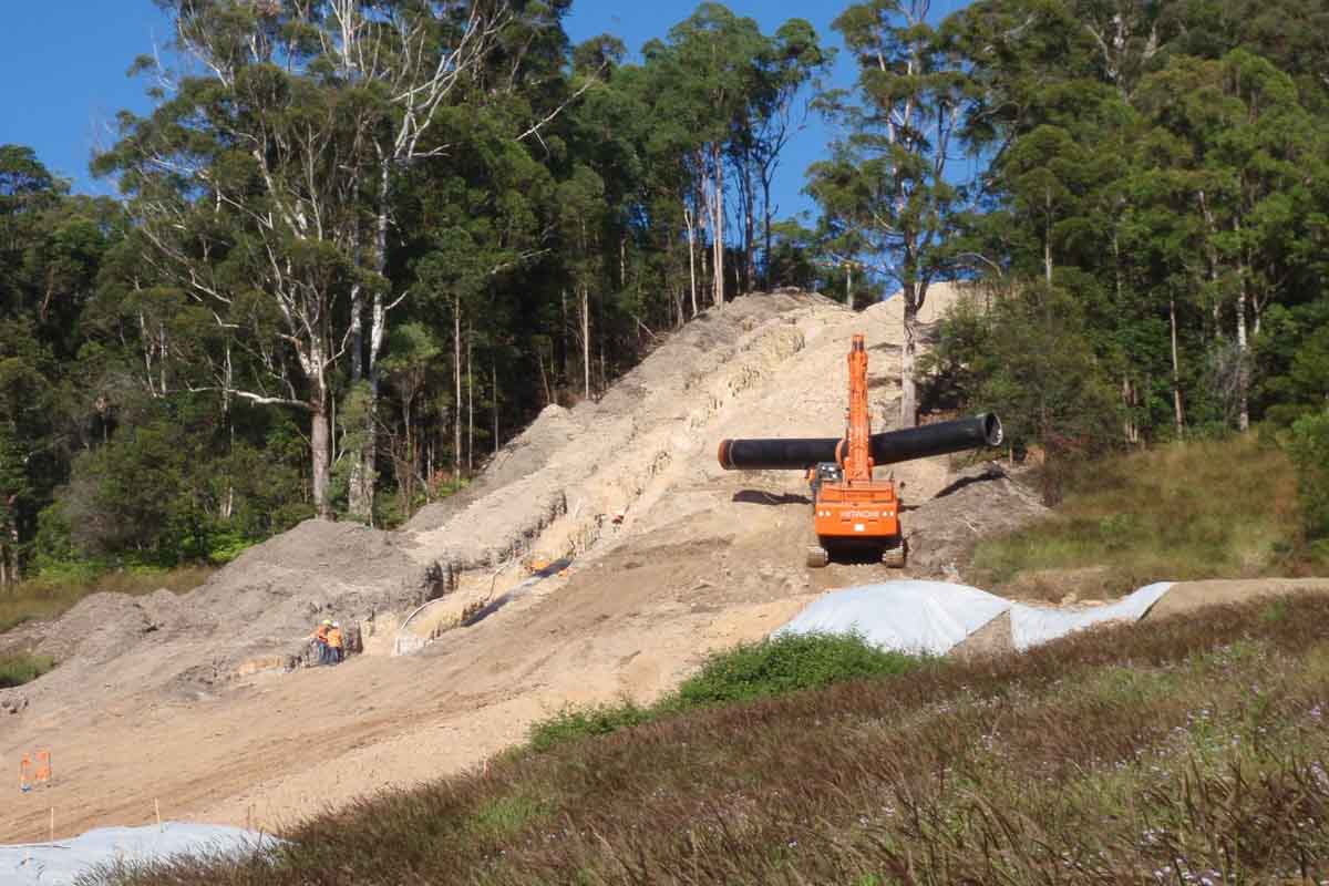
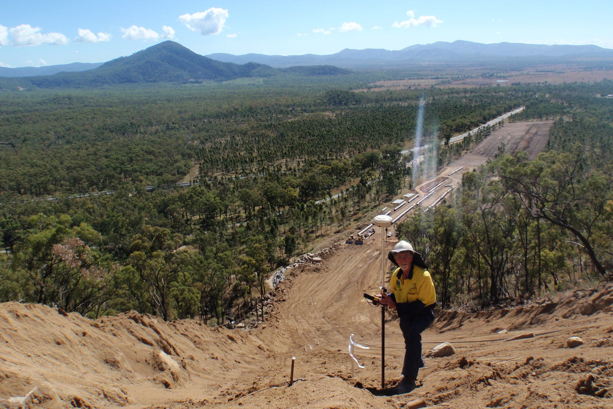
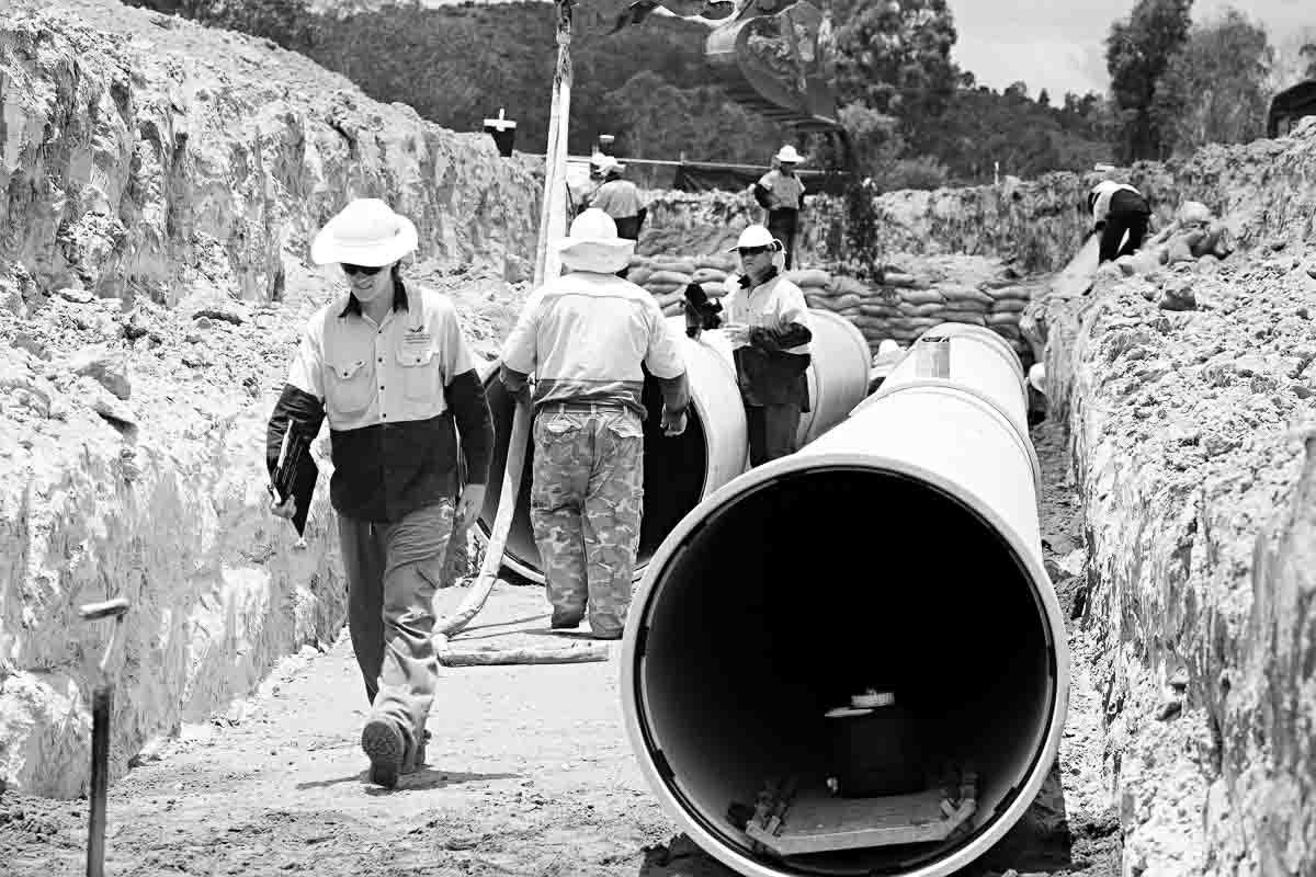
The Northern Pipeline Interconnector (NPI) – Stage 2 is a $468 millioninvestment to help secure water supply for the growing region. NPI – Stage 2 is a vital piece of […]
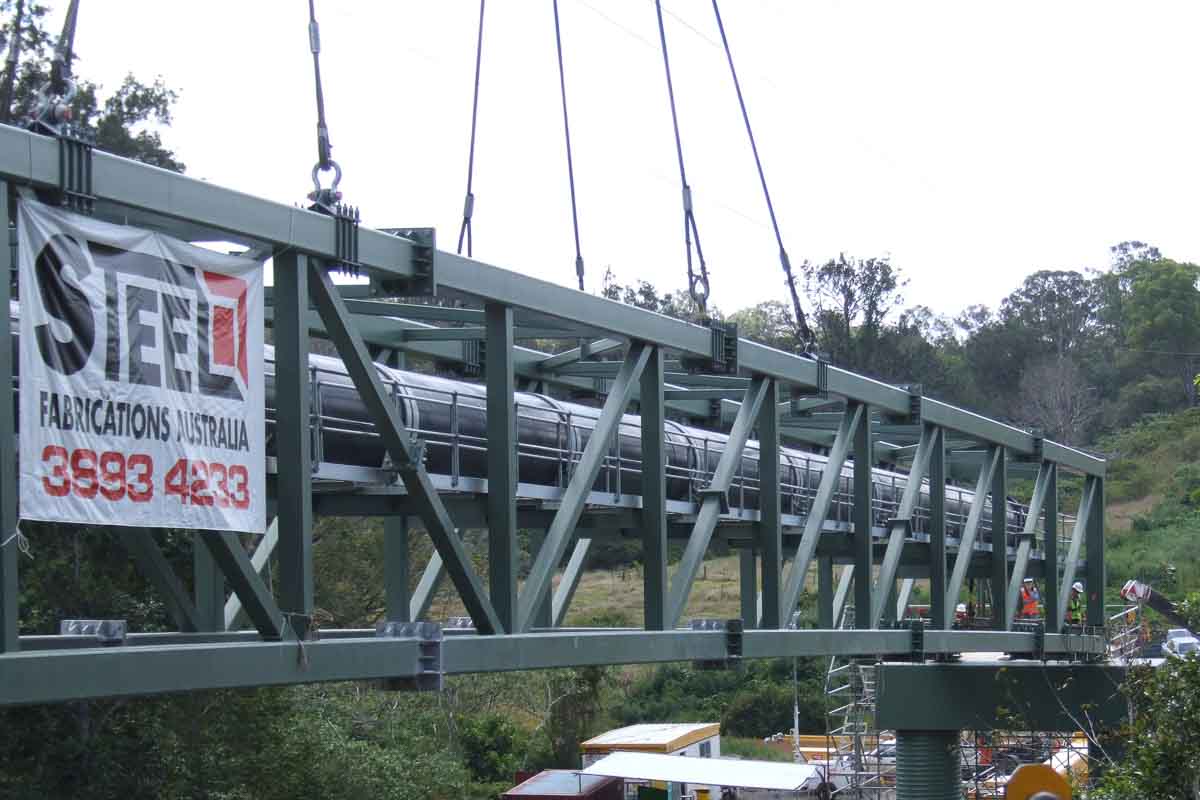
A 48-kilometre, bi-directional water pipeline that, together with the first stage of the pipeline, can transport up to 65 megalitres of water per day either way from the Sunshine Coast […]
Southern Regional Water Pipeline – a two way bulk water pipeline connecting Brisbane to the Gold Coast and moving water to where it is most needed through Ipswich, Logan and […]